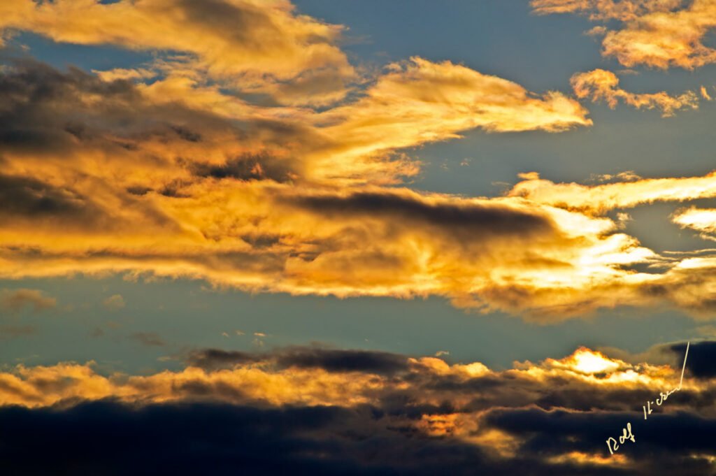
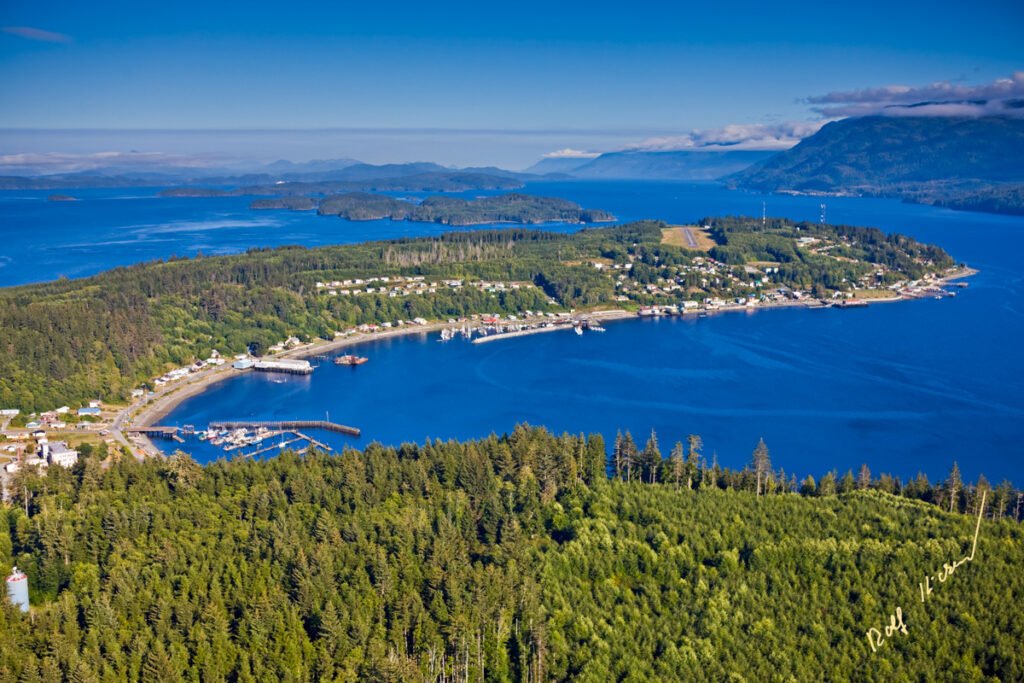
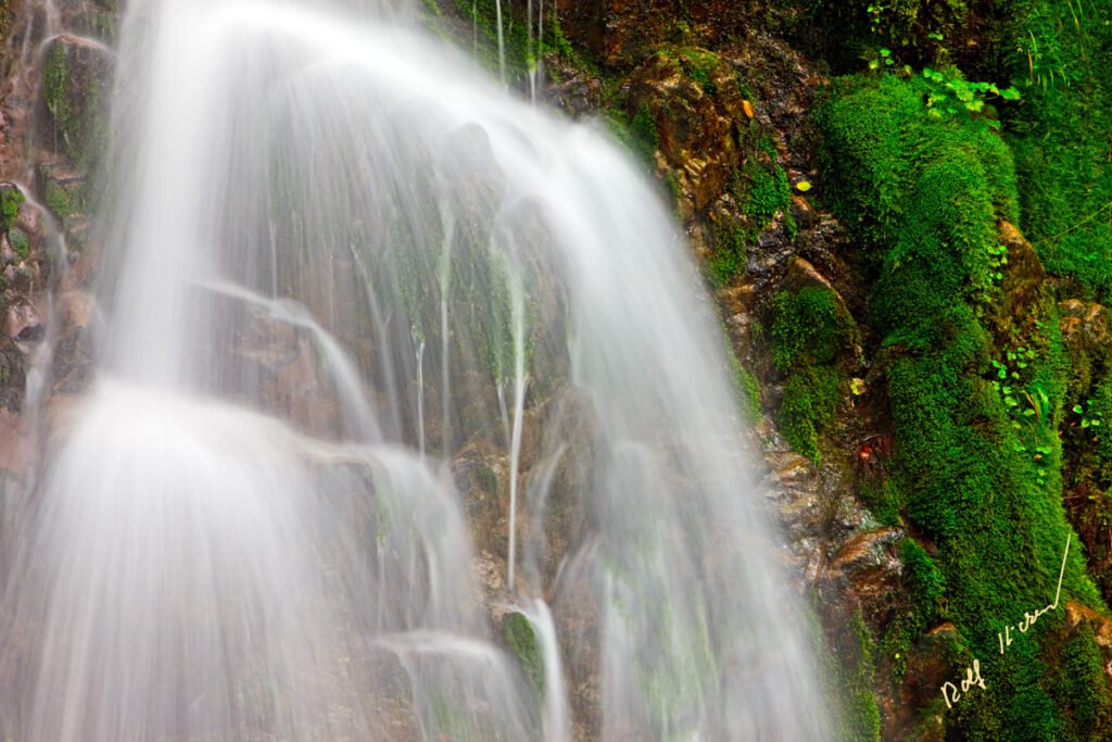
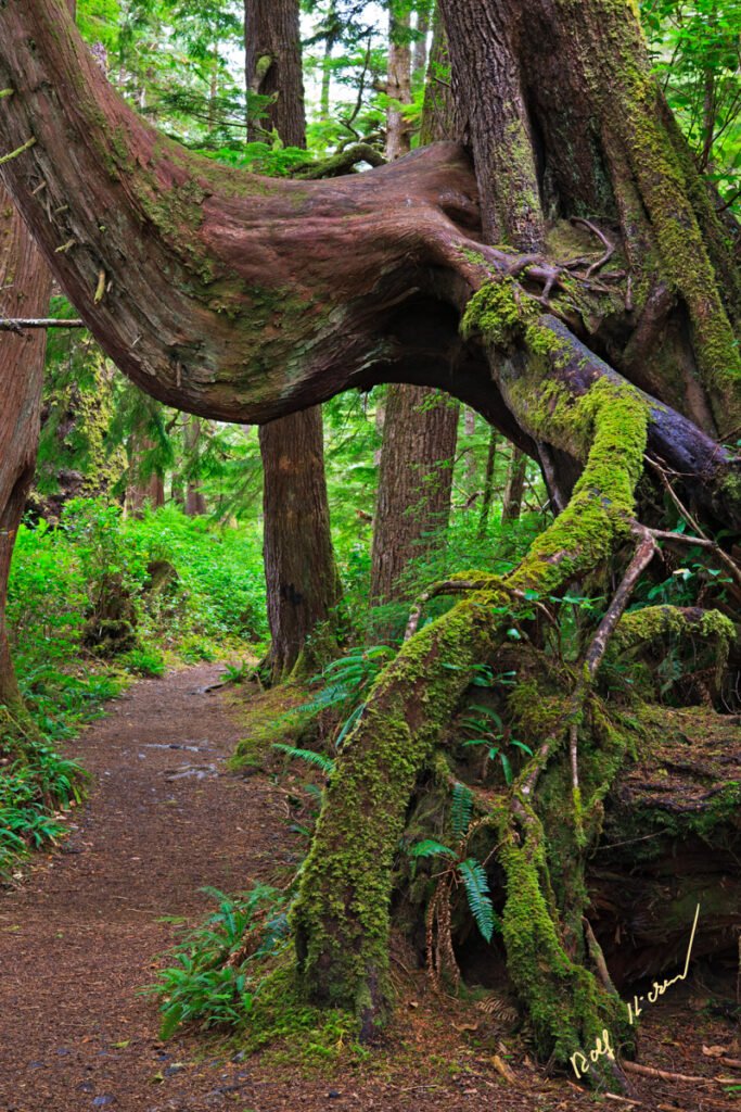
Northern Vancouver Island Pictures
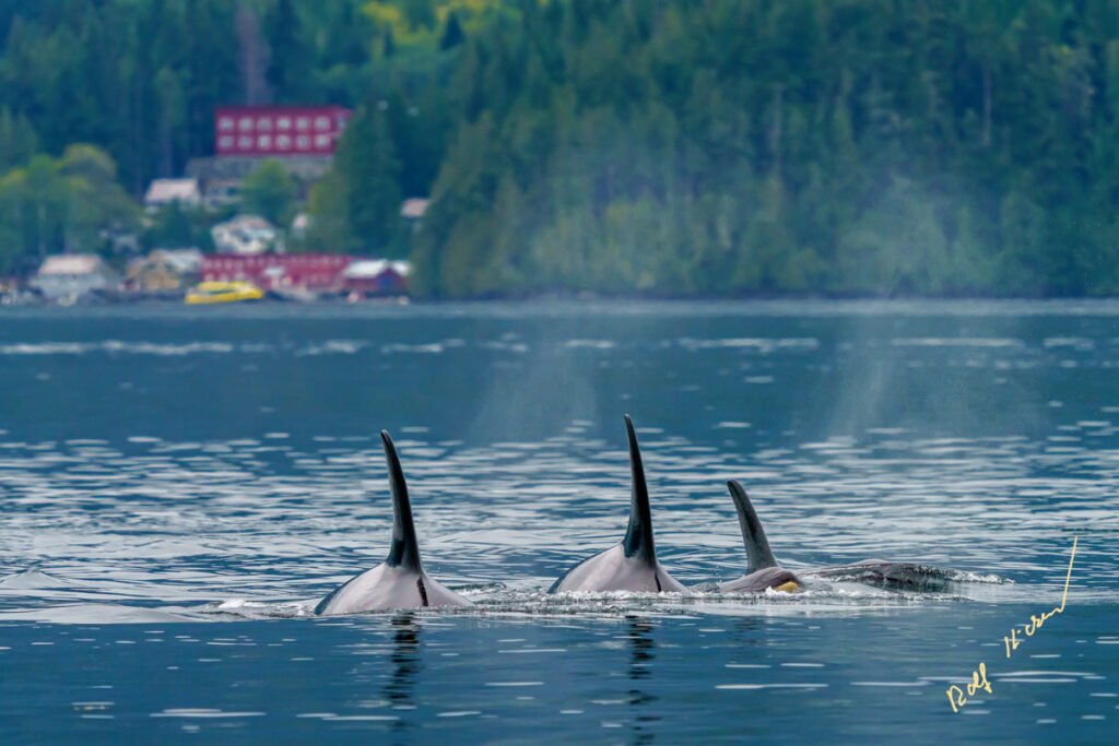
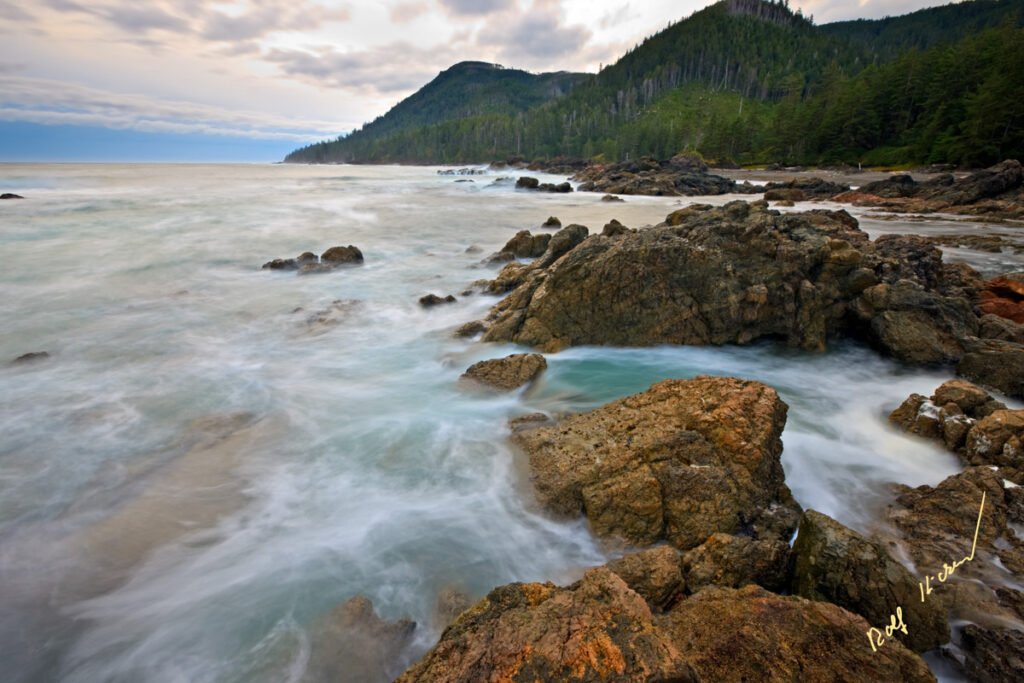
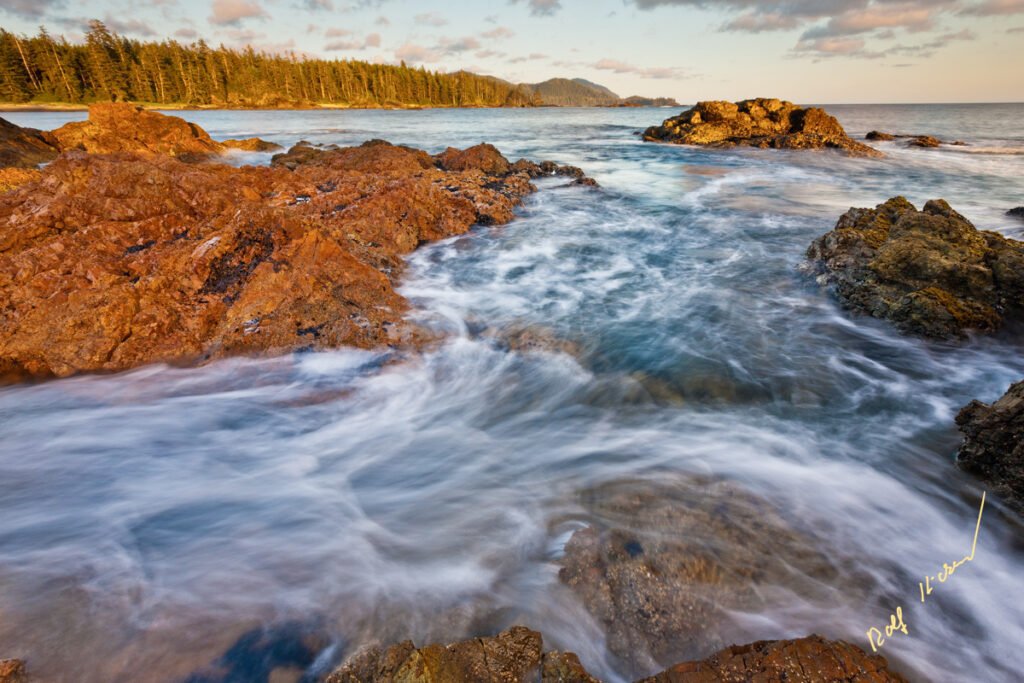
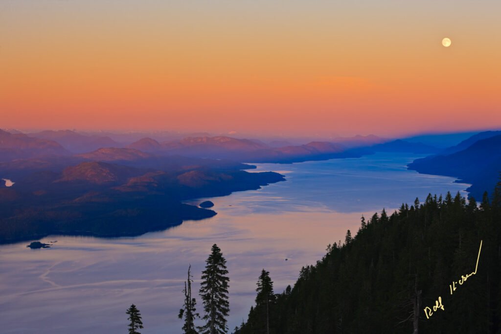
Pictures of Northern Vancouver Island and its marine surroundings showing the scenery, landscape and the wildlife of this unique vacation area in British Columbia.
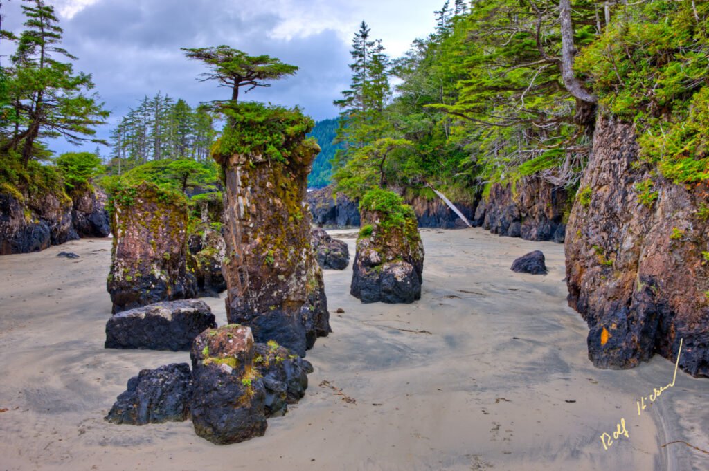
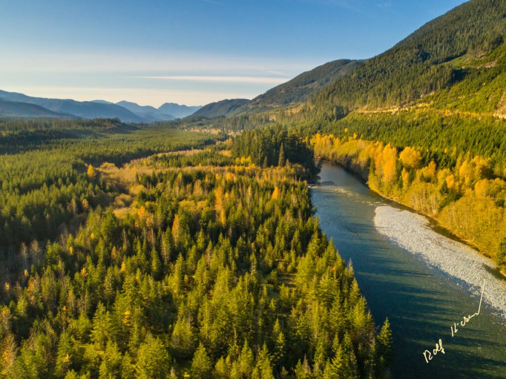
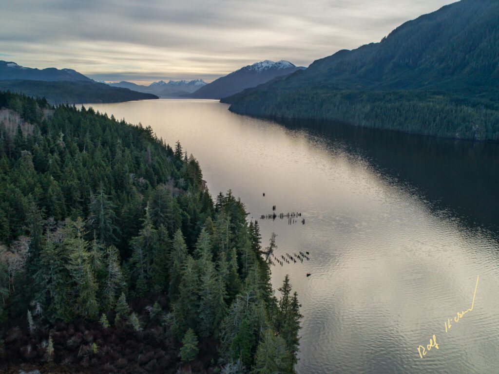
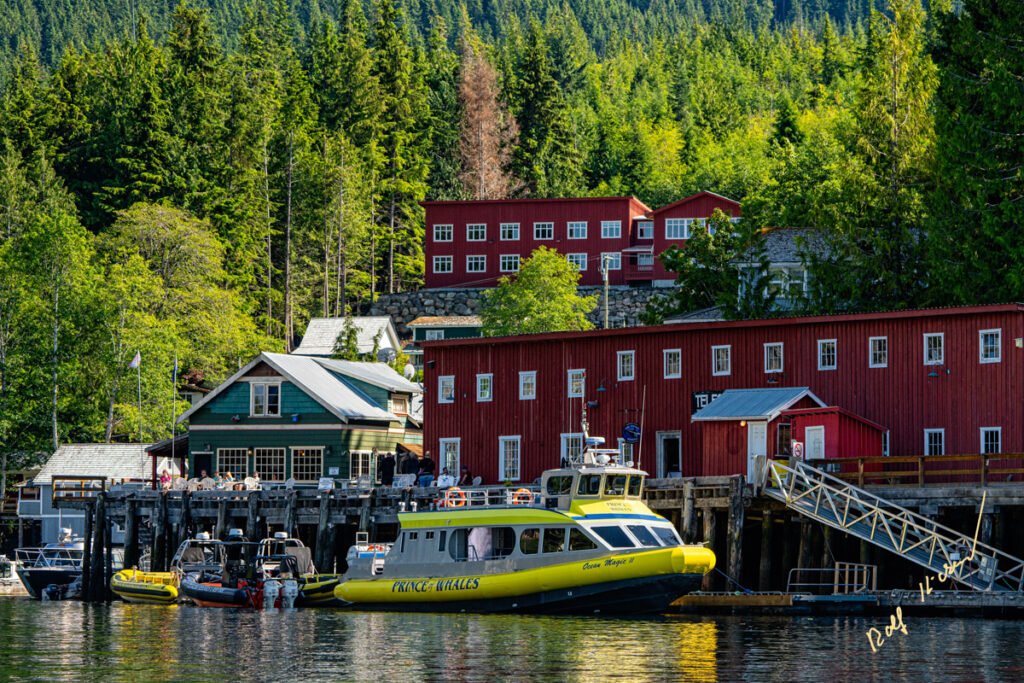
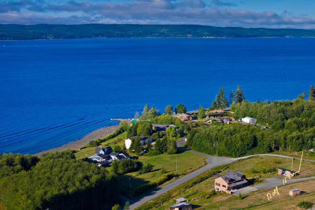
With our Northern Vancouver Island pictures, we want to bring you this amazing part of Vancouver Island a little bit closer. This section of Northern Vancouver Island, Malcolm Island, Cormorant Island, the Broughton Archipelago Provincial Park all the way to the Mainland of British Columbia.
We recommend a stay of a minimum 3-4 nights minimum to allow enough time to discover the most important attractions like whale watching, bear watching, dolphin watching, bald eagle watching and to discover the beauty of the Broughton Archipelago Provincial Park, sandy beaches at Cape Scott or the rough wild West Coast of Northern Vancouver Island. Please refer to our sample packages (should be online by Jan. 10th, please inquire till then).
All these locations are in reach and part of our unique custom photo tours. The professional wildlife, travel and nature photographer Rolf Hicker will be your tour guide with a lot of photographic knowledge and on the land-based tours, Rolf answers your photography related questions, shares a lot of tips and tricks and helps you to capture those unique moments on film (sorry chip).
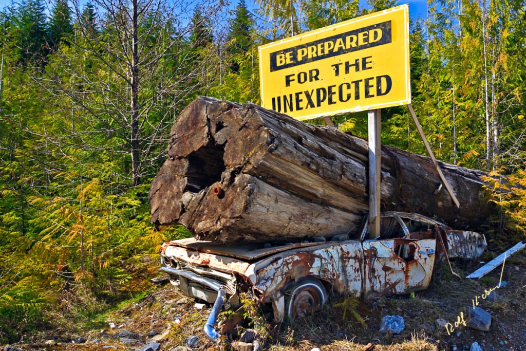
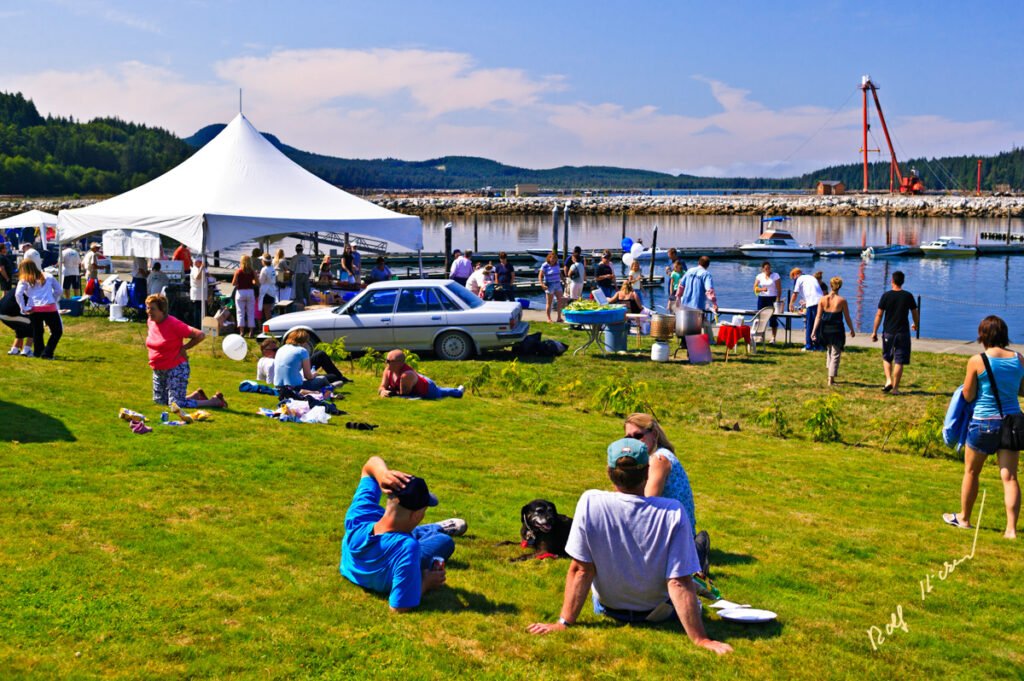
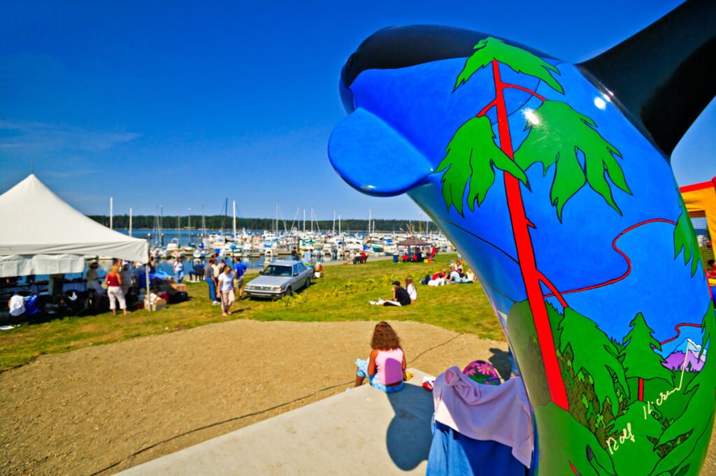
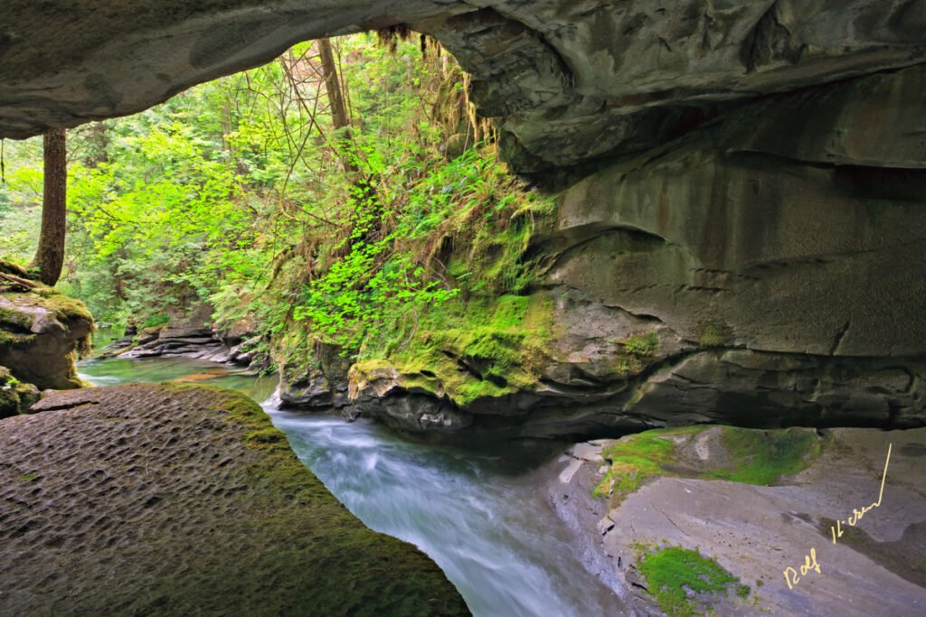
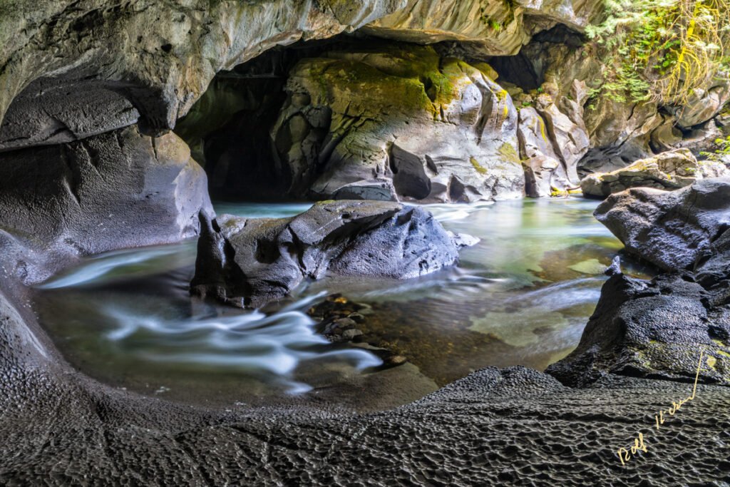
In this photo gallery, you will see a small section of pictures of what we have to offer in this beautiful part of the world. Here you can find more information about our private wildlife photo tours around Northern Vancouver Island.
If you interested in photography you might want to visit Rolf’s Nature, Travel & Wildlife Photography website.
Here are links to more photo galleries with pictures captured in the last couple of years on our tours:

Family pod of northern resident orca swimming by Telegraph Cove, northern Vancouver Island, First Nations Territory, British Columbia, Canada.

"Be prepared for the unexpected" sign, Northern Vancouver Island, British Columbia, Canada

Raft Cove, Raft Cove Provincial Marine Park, Vancouver Island, British Columbia, Canada

village of the Da'naxda'xw, Tsatsisnukwomi, Dead point, Harbledown Island, Da'naxda'xw First Nation, Knight Inlet, British Columbia, Canada

View over Northern Vancouver Island with BC Coast Mountains in background

Aerial view of Port McNeill on Northern Vancouver Island, British Columbia, Canada.

Totem poles in Alert Bay, Cormorant Island, British Columbia, Canada. Namgis Burial Grounds, Namgis First Nations

Orca fest festival at Port McNeill harbour, Vancouver Island, British Columbia, Canada.

Orca statue in Port McNeill, Vancouver Island, British Columbia, Canada.

Storm clouds close to sunset, Vancouver Island, British Columbia, Canada.

Coast guard boat 508 in front of Telegraph Cove, Vancouver Island, British Columbia, Canada.

Panoramic view across the marina towards Telegraph Cove Resort in the historic boardwalk community of Telegraph Cove during sunset, Northern Vancouver Island, First Nations Territory, Traditional Territories of the Kwakwaka'wakw People, British Columbia, Canada. 3 level, hdr panoramic, supher high resolution, extra large file, ca. 170 MB. Oroginal 1.5 GB

Eagle and Sea lion Moon Mask by Trevor Hunt, Kwagiulth First Nation Artist, original West Coast native art, Just Art Gallery, Po

Aerial view of Alert Bay, Cormorant Island, Broughton Strait, Cormorant Channel and Vancouver Island in the background, british Columbia, Canada.

Waterfall in the rainforest near Port Alice, Northern Vancouver Island, Vancouver Island, British Columbia, Canada.

Moss covered tree root along the trail to San Josef Bay in Cape Scott Provincial Park, Northern Vancouver Island, Vancouver Island, British Columbia, Canada.

Tree topped sea stacks along the rocky shores of San Josef Bay in Cape Scott Provincial Park, West Coast, Northern Vancouver Island, Vancouver Island, British Columbia, Canada.

View of the rocky shores of the West Coast through the windows of the emergency shelter at Cape Palmerston, Northern Vancouver Island, Vancouver Island, British Columbia, Canada.

Green algea on rocks at low tide in Nimpkish River on northern Vancouver Island, British Columbia, Canada.

Clouds above Broughton Strait and the Vancouver Island landscape, First Nations Territory, Traditional Territories of the Kwakwaka'wakw People, British Columbia, Canada.

Limestone Cave carved by a river at Little Hudson Cave Regional Park, Vancouver Island North, British Columbia, Canada.

Fog amd clouds over Queen Charlotte Strait seen from Vancouver Island, British Columbia, Canada.

View from Vancouver Island North over Hanson Island, Stubbs Island, Malcolm Island, Donegal Head over Queen Charlotte Strait towards the British Columbia Coastal Mountains at twilight, dusk with fog banks creeping over the islands, British Columbia, Canada.

Long exposure of Atluck Creek winding through the limestone and rainforest in Little Huson Cave Regional Park on Northern Vancouver Island, British Columbia, Canada.

Atluck Creek cutting through the cast limestone creating Huson Natural Bridge Cave in Little Huson Cave Regional Park, Northern Vancouver Island, British Columbia, Canada

Aerial photo of Nimpkish Valley on northern Vancouver Island, British Columbia, Canada.

Drone image aerial view of Nimpkish Lake in Nimpkish Valley, northern Vancouver Island, British Columbia, Canada.

Maple trees covered in a layer of winter moss along Nimpkish Lake, First Nations Territory, British Columbia, Canada.

Telegraph Cove Cove with the "Ocean Magic" whale watching boat along the dock beside the Whale Interpretive Centre, a must see tourist attraction on northern Vancouver Island, British Columbia, Canada.

Tidepool with starfish, sea anemones, barnacles and mussels along the west coast at San Josef Bay in Cape Scott Provicial Park, Vancouver Island, First Nations Territory, Traditional Territories of the Kwakwaka'wakw People, British Columbia, Canada.

Aerial view of Alert Bay, Cormorant Island, Broughton Strait, Cormorant Channel and Vancouver Island in the background, british Columbia, Canada.

Aerial view of Hyde Creek on Vancouver Island, British Columbia, Canada.

Rugged coastline and wave action along the West Coast at Cape Palmerston, Northern Vancouver Island, Vancouver Island, British Columbia, Canada.

Long exposure along the wild west coast of Vancouver Island at Cape Scott, First Nations Territory, Traditional Territories of the Kwakwaka'wakw People, British Columbia, Canada.

Aerial view over Johnstone Strait, Hanson Island, Blackfish Sound, Bold Head on Swanson Island, the White Cliff Islands towards Fife Sound and the British Columbia Coastal Mountains with Mount Stephens on the right, while fog is rolling in from Queen Charlotte Strait, First Nations Territory, Traditional Territories of the Kwakwaka'wakw People, British Columbia, Canada.

Aerial view over Johnstone Strait and Robson Bight, looking southeast after a beautiful soft sunset on a full moon twilight, Vancouver Island, British Columbia, Canada.

Millerd Creek waterfall, Knight Inlet, First Nations Territory, Traditional Territories of the Kwakwaka'wakw People, British Columbia, Canada.

Bob photographing during a photography workshop with Rolf Hicker in little Huson Cave Regional Park, Northern Vancouver Island, British Columbia, Canada.